A cloudy and damp day with light drizzle set the stage
for our hike today at Los Gatos Creek Trail. Located smack in the middle of suburban
South Bay towns, Los Gatos Creek Trail is very popular among Bay Area residents.
More than 11 miles long, Los Gatos Creek Trail can be accessed from several locations,
running through multiple cities and towns. Campbell Park (Campbell Ave &
Gilman Ave), closer to the north end of the trail and a stone’s throw away from downtown Campbell, is a very popular spot to access the trail. Starting from
Blackford School in San Jose, the trail runs south to Campbell, continues onto Vasona Reservoir, downtown Los Gatos, and all the way to Lexington Reservoir.
We started today at Campbell Park. The blacktop trail
attracts cyclists, runners, and walkers alike. From Campbell Park, the trail
runs south on both sides of the creek. A good
way to experience the trail is to cross the foot over bridge and turn right, southward.
This section is little more than a mile long. At the end, you’ll come across
another bridge that'll get you back to the trail. Want to do just a 2 mile-ish
hike? Turn right here and walk north towards the Campbell Park. Fancy something
longer? Turn left here and continue south – you can go down as long as you
like. As an out and back trail, you have the opportunity to hike for nearly 20
miles.
 |
| Dog Park |
We chose to go south for another couple of miles,
intending to do about 6 miles overall. You’ll first cross the San Tomas Expressway
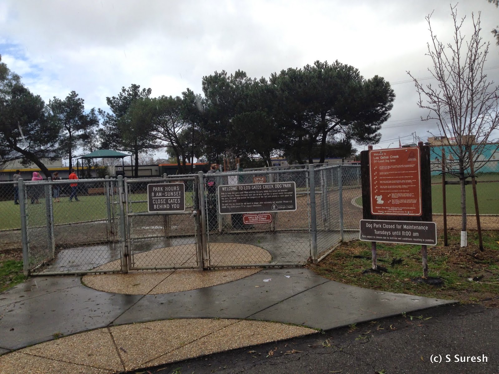
underpass. Right after that is a very nice dog park that can accommodate both
small and large dogs. Although we've been to this dog park
multiple times, we chose to skip it today and focus on the hike.
After the dog park, on your right, you’ll find the Los
Gatos Creek County Park. On its heels you’ll find three ponds – they are the Camden groundwater recharge ponds.
The drought has made the water levels in the ponds extremely low. With a light
drizzle upon us, we kept moving south
and soon came upon the Hwy 85 underpass.
Our hike today started from the town of Campbell, moved through Santa Clara country jurisdiction, and subsequently to the
town of Los Gatos. I was trying to figure out how much further to go when the
heavy rains from yesterday helped make the decision for us. The trail was
flooded close to Lark Ave and we decided to turn around.
 |
| Hwy 85 underpass |
 |
| Flooded trail, turn around point |
While the 6 mile out and back hike was great, there are a couple of annoying aspects of this trail that are worthy of mention. The trail
runs parallel not just to the Los Gatos Creek, but also Hwy 17. This means there is
continuous road noise in the background that can get to you. The black top
means you share the trail with cyclists. While the posted speed
limit is 15 mph, more than one cyclist zipped past us much faster. You should be attentive, especially if you are hiking with your dog.

The trail is absolutely flat and along the creek, and today was especially nice with the creek flowing fuller after the rains from yesterday. As with the Coyote Creek Trail, you can choose how much to do depending upon your fitness level. Our intent is to complete the trail all the way to Lexington Reservoir soon.
Update 2015-11-04
Apollo and I frequent this trail often, especially this middle section of this long trail. I decided to update the blog after doing something slightly different in our walk today.
 |
| Camden Perc pond |
 |
| Doggie social |
On the way back, we went into the off leash dog park. Apollo enjoyed the dog social while working out some of his seemingly endless energy!
Our walk this crisp fall morning was a respectable 4 miles at a decent walking pace.


No comments:
Post a Comment