Friday, January 30, 2015

Mission Peak (from Stanford Ave) 2015-01-30

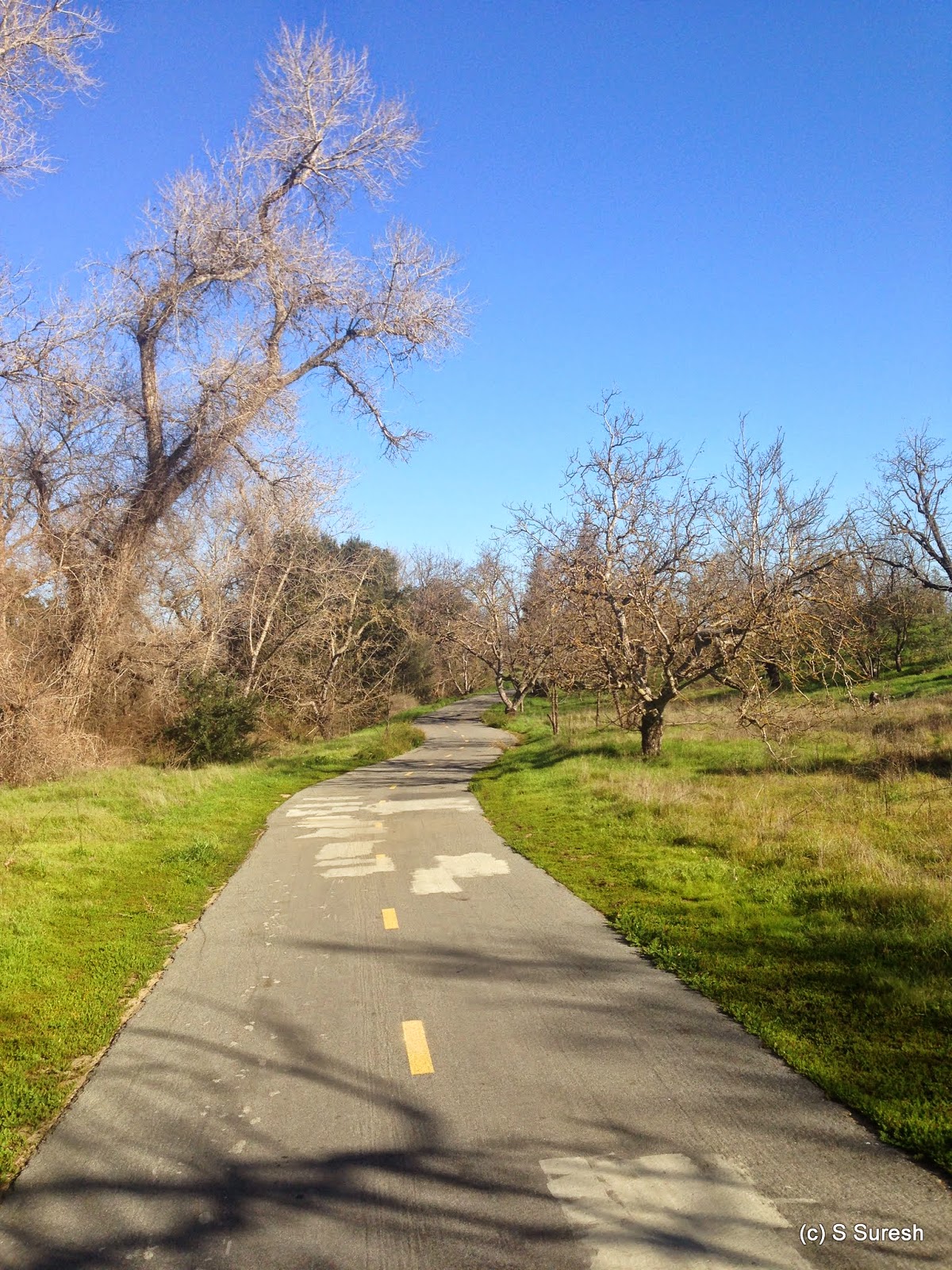
We decided to scale Mission Peak today. Located in the East Bay, Mission Peak is a hike Bay Area folks flock to for the challenge and the breathtaking views it provides. Parking is available at the end of Stanford Ave in Fremont. Given how popular this hike is, you’d have to be extremely lucky to find parking by the trail head, even on a weekday. We ended up parking on Stanford Ave and walking up to the trail head.  Lot of new timing restrictions are in place from the Mission Peak Regional Preserve, probably prompted by the extreme popularity of this trail.

A foggy start
It was 55⁰ and foggy when we started. I was wondering how long before the sun would break through and burn the fog. The fog provided a nice cover and hid the challenging climb from us as we trekked up steadily. The hike by Ohlone Wilderness Trail from Stanford Ave trail head to the peak is about 3.5 miles long. You’ll be climbing up all the way through, so by any measure, this is a difficult hike. We were fortunate to have a nice fog cover for a good portion of our hike up. Without it, the sun would be harsh and make the hike that much harder. The trail is rugged, but spacious and well prepared. Unfortunately, there is pretty much no shade the whole way up. You’d be wise to choose a cool day to do this hike or have an early start.
 
Horse heaven trail
The Hidden Valley/Ohlone Wilderness Trail leading to the peak is popular and crowded. If you want to hike the road less travelled from this trail head, I’d recommend trying out the Horse Heaven Trail – the first fork you’ll come by within minutes of starting the hike.  

There were plenty of warning signs about safely hiking with your dog - common sense advice about dehydration, heat exhaustion, and overexertion. It was the first time Apollo was doing a hike like this, so I kept offering the guy water along the way. He kept ignoring it until we reached the peak and didn’t seem to mind the climb up by any means. I wonder, is it easier to walk on all fours up a mountain?

Some 40 minutes into the hike, I observed the sun making a valiant attempt at burning the fog. It was a beautiful sight. I captured several nice photographs of the battle between the sun and the fog. Slowly but surely, the sun succeeded in burning the fog off, revealing the beautiful views of the valley as the shroud of the fog lifted!

Standing tall at 2520 ft.
The home stretch to the peak is very rugged and steep. Apollo could've been a goat for all I knew… he negotiated the climb up and down perfectly. About 75 minutes from when we started, we were standing atop Mission Peak, 2520 ft. high, enjoying some of the most beautiful 360⁰ views of Bay Area.


Breathtaking view from the top of Mission Peak 


The descent was definitely faster. We were jogging gently for part of the way, but as with any hike downhill, it can be tough on your knees and ankles. Watch out! Mission Peak is definitely a challenging hike that would fall under the difficult category. I am amazed at the number of people who are willing to take up the challenge. If you are reasonably fit and willing to take the time (and water) to do the hike, I’d highly recommend the experience.

 More pictures from the Mission Peak hike.
#Hiking #HikingWithDogs #MissionPeak #EBRPD

Monday, January 26, 2015

Parker Ranch Trail 2015-01-26

Trail Head, Prospect Rd.

Parker Ranch trail is in the City of Saratoga. You can access it from Prospect Road, very close to the Prospect/Stelling Road intersection. Plenty of roadside parking is available. The trail itself meanders through the Parker Ranch residential neighborhood. You’ll get to see several backyards and will have to use neighborhood streets to move between portions of the trail. 
Steep grass hill


The urban setting shouldn’t dissuade anyone looking for a nice rugged trail with panoramic views. It is also possible to do a loop rather than going out and back. Since Parker Ranch trail connects to Fremont Older, you have the option of making this as easy or hard as you want. We started off from Prospect Road, passing through a few backyards. Right away, you will come upon a steep grass hill. If you aren't out of breath by the time you are on top of the hill, you are in excellent physical shape. 


View from top of the grass hill

Once you reach the top of the hill, you are treated to an excellent view of the urban landscape of the cities of Saratoga, San Jose, Cupertino, and beyond.  Parker Ranch may be located in an urban setting, but the trail is moderately difficult. You will continue from this point climbing up and down the hills until you come to Continental Circle. Bear right and walk in Continental Circle until you connect to the trail again on your left.


You’ll get to see a beautiful grass knoll climbing down the hill and get an opportunity to rest your feet on the park bench located in this stretch. Apollo didn’t need any rest, but posed for a photo at my bidding nevertheless. You will exit on Star Ridge Ct and will have to walk few yards on Picea Ct to catch the next section of the trail.

Right after entering the trail from Picea Ct, you have the option of looping back to Prospect Road, or walking ahead all the way to Fremont Older Open Preserve. The Fremont Older entrance is about half a mile from this turnaround point. Steeped in Silicon Valley culture, I decided to go the extra mile and continued on. In this section, you’ll see plenty of evidence of equestrian activity, which shouldn't be a surprise as the entrance to Fremont Older is right by Garrod Farms.

The trail was predominantly uphill all the way from where we started. We turned around at this point with the promise of a downhill hike back. You’ll have an excellent view of Fremont Older Open Preserve and if you are familiar with it, you can also spot Hunter's Point, the second highest point there. Jogging gently, we were able to improve the overall speed from 3.1 mph to 3.4 mph by the end. Remember to bear left at the point when trail loops back so you can go back by a different path. You’ll have the Saratoga Country Club golf course on your left before coming upon Parker Ranch Ct. Bear left here and walk on Parker Ranch Rd until you get to catch the last leg of the trail. This is a small section, but there are some magnificent trees and a beautiful cacti plant to see if you choose to do this bit as well. You’ll emerge from Prospect Road. Bear right to the trail head and where you probably parked your car.


Parker Ranch is a nice trail that is moderately difficult. This is not the first time we've hiked this trail. But I noticed that the City of Saratoga has made it more dog friendly by making available dog scoops at three points: the trail head at Prospect Rd, right before the grass hill climb, and when you re-enter the trail from Continental Cir. Thank you, Saratoga!

Here is a link to Parker Ranch trail from the City of Saratoga website. 


Update 2015-05-07
Did a 2.8 mile hike loop today with Jaya and Apollo. Between the end of January and early May, the significant difference is in how brown the grass and shrubs were. 

More pictures from the hike!
#Hiking #HikingWithDogs #ParkerRanchTrail


Friday, January 23, 2015

Coyote Creek Trail 2015-01-23

If you search for dog friendly hiking trails, you’ll find plenty of information. This is a log of my hikes with Apollo with relevant info for anyone interested in exploring the beautiful hikes the Bay Area has to offer. In these posts, I hope to paint a picture of trails as I experienced them, complete with some photographs. Hopefully, this will come in handy for others with similar interests in exploring our wonderful open spaces.


Coyote Creek Trail is a very long trail with properly paved pathways. The southern leg runs from Tully Road all the way until Morgan Hill and is the most relevant portion of the trail. At 16.8 miles long, I knew going in that this trail would have to be covered in phases. There are plenty of easy access points to the trail. But that statement really won't help anyone seeking to enter the trail :). We entered the trail at Sherlock Dr. & Kenoga Dr., just off Tully Road. Plenty of roadside parking is available there.


It was a picture perfect day for a hike. Bright sun, 65⁰ temperature, blue skies with nary a cloud in sight… one would hardly believe it was a winter day. The trail was properly paved and well maintained and we came across several cyclists, typically on road bikes, speeding past us. 

Walking south (away from Tully Road for those directionally challenged), you’ll first come by the Los Lagos golf course. When the trail hugged the golf course, I couldn’t but help wonder if the garish structures needed to maintain the golf course are really worthwhile. Right after the golf course, you’ll pass under Capitol Expressway and get to see the creek in close quarters. It wasn’t a pretty sight. Once you cross over the creek, you’ll be treated to some nice greenery on either side with lots of open space. After you cross the trailhead at Yerba Buena Road, you’ll enter Hellyer Park, with the Velodrome by the left. I decided to turn around at this spot, as we’d already done 3 miles one way. At Hellyer Park, restroom facilities and drinking water are available. 


There’s also a dog park at Hellyer Park that we didn't visit. Despite that, Apollo had a field day on the trail. And he was ready to pose for pictures as many times I bade him to!


Trail heads observed:
  1. Sherlock & Kenoga Drives, off Tully Road
  2. Tuers Road & Capitol Expressway
  3. Yerba Buena Road & Grandbrook Way
  4. Hellyer Ave. & Palisades Dr.

Here is a link to the map of this section of the trail from the City of San Jose web site. We covered 6 miles out and back from Sherlock & Kenoga Drives. The next time we hike Coyote Creek trail, we will pick up from this point and go further south. Parking should be easy if we approach the trail from Hellyer Avenue.  

Coyote Creek trail is flat, easy, and long. Whatever your fitness level, you can hike to the extent you are comfortable and able.  


Here are some more pictures from the hike.
#Hiking #HikingWithDogs #CoyoteCreekTrail