|
| Lower Falls |
There are five falls by the Waterfalls Loop Trail and two outside of it. We started our hike by Swanson Creek Trail to Lower Falls, one of the two outliers. The trail goes right by Swanson Creek much of the way before going around a Indiana Jones-esque hill and a long flight of stairs before coming to the site of Lower Falls. Located where the smaller Swanson Creek and larger Uvas Creek meet, Lower Falls is a powerful waterfall in Swanson Creek, not very tall, but voluminous and impressive.
 |
| Granuja Falls |
From Lower Falls, we went back to the main road, retracing our steps. The Waterfalls Loop Trail that starts right across the road is also a nature trail. Do pick up the nature trail guide along with the park map; it will provide a great description of not just the waterfalls but also the flora by the creek and other interesting information. The trail crosses the Swanson creek more than once by wooden bridges and the first one is actually right in front of Granuja falls, the smallest falls we saw today.
 |
| Black Rock Falls |
 |
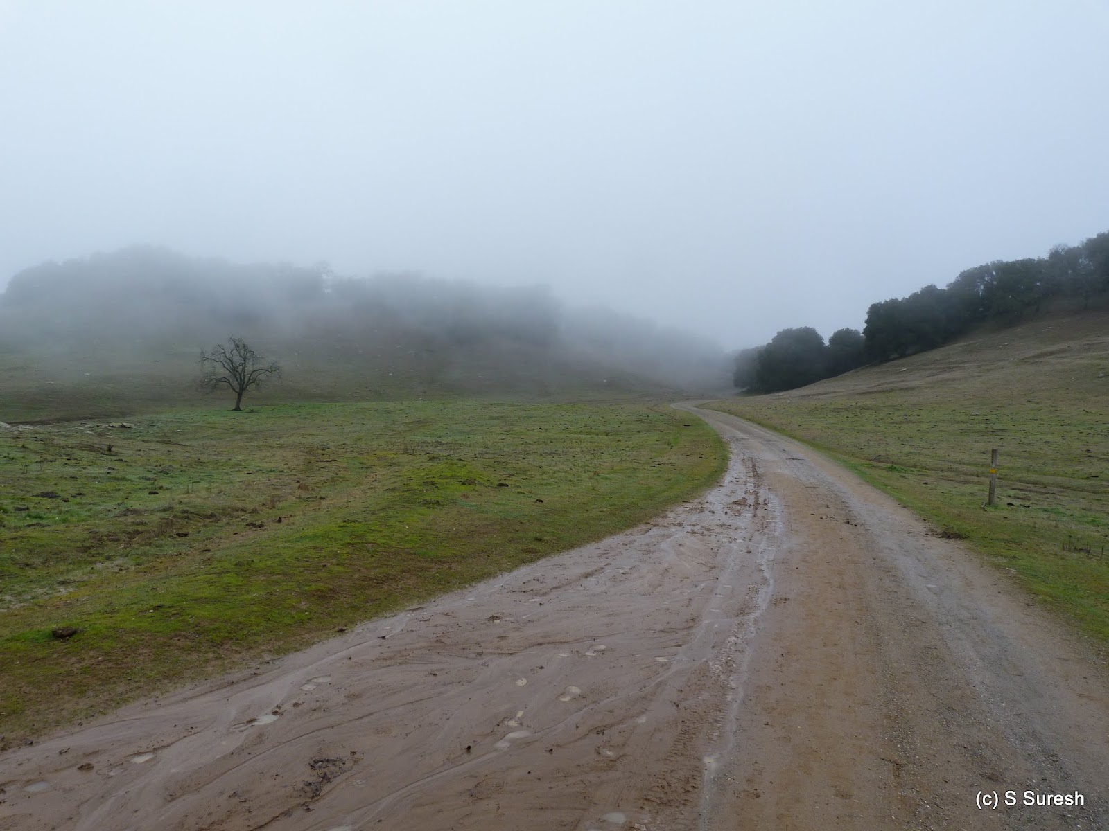
| Knobcone trail |
A side trip to Knobcone Point is possible from here. This is about a mile round trip, but this would involve climbing more than 400 feet in half a mile. Apollo and I did the relatively steep hike to Knobcone Point. As the trails climbs up hill, you will get to walk by the dry and sunny hillside with the sound of the water flowing receding to the background.
 |
| Basin Falls |
 |
| Upper Falls |
Instead of returning to the parking lot walking the other side of Waterfalls Loop trail, I decided to take the 1.5 mile Contour trail and extend our hike. Contour trail goes right by the Upper Falls providing yet another view of this waterfall.
 |
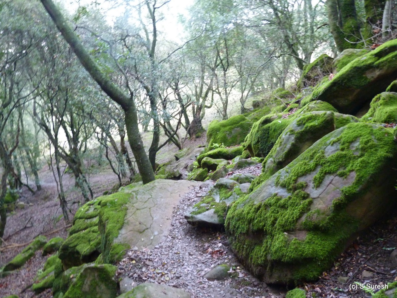
| Contour trail |
About 1/4 mile into the hike by Contour trail, the path crosses the creek, requiring you to walk across the fast flowing stream. It was passable today, but there are warnings to the effect that it may not always be passable. It was a gradual climb up by Contour trail before we came up on a fork and a sign asking hikers to "keep out of restricted area".
 |
| I doubt if this is a trail... |
 |
| Manzanita Pt. |
 |
| Triple Falls |
While Triple Falls did have a nice flow, it wasn't as voluminous as the previous ones we had visited. Still, the 1.5 mile round trip was certainly worth it. We wrapped our hike essentially retracing our way back to Contour trail junction and continuing further for another 1/2 mile to the parking lot.

More photos from my 100th hike.
#Hiking #HikingWithDogs #UvasCanyonCountyPark #UvasCanyonPark #WaterfallsHike