 |
| Calero creek trail |

We started our walk in Los Alamitos Creek trail. The trail runs through Singer park before coming to an intersection on Camden Ave where Calero Creek and LAC trails separate, both running parallel by their namesake creeks. From here until Harry Rd junction, Calero creek trail also runs by Camden Ave, a nice paved, blacktop multi-use trail.

At Harry Rd, the trail crosses the creek and continues south by it. This stretch, little more than a mile, goes until San Vicente Ave parking lot for Stiles Ranch/Santa Teresa Park. And it is a dirt trail all the way.


 |
| LAC trail |
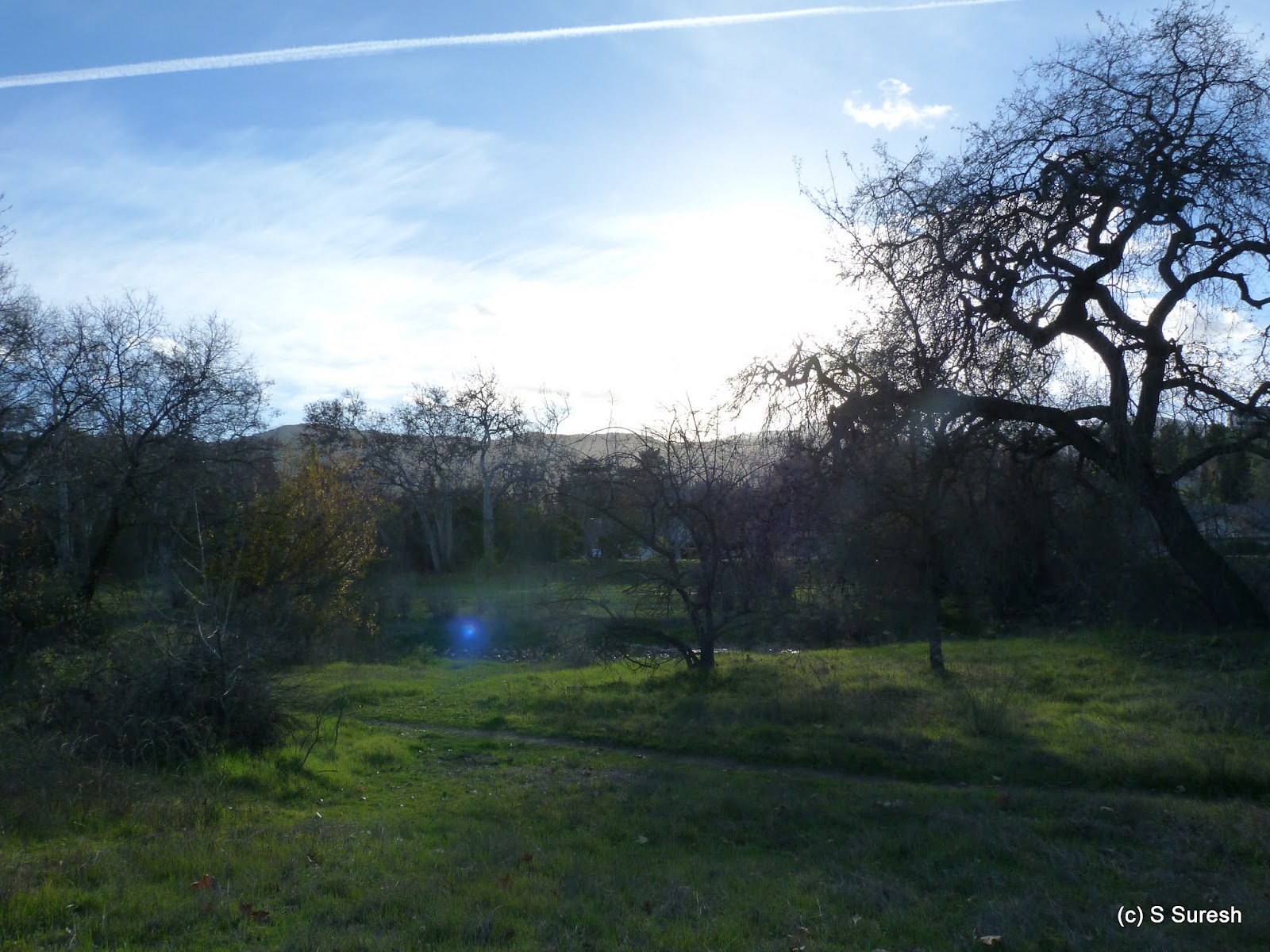 |
| Alamitos creek |

More pictures from our 4.7 mile walk.
#Hiking #HikingWithDogs #CaleroCreekTrail #LosAlamitosCreekTrail


