
 |
| Stile Ranch Trail |
We started out hiking Stile Ranch Trail, which is technically not part of Santa Teresa Park. The rugged trail climbs uphill, steadily zig-zagging in the Santa Teresa hills. By about three-fourths of a mile, you'd have climbed ~350 ft. in a a real rough & rocky dirt trail. This is a multi-use trail. While I can see hikers and equestrians heading up, you'd have to be a serious mountain biker to make this climb.

Around a mile into the hike, the trail opens up to some fine views of the Santa Teresa hills all the way to Diablo mountain range in the East Bay. You will also pass by the IBM Almaden research center on the left before entering Santa Teresa Park.
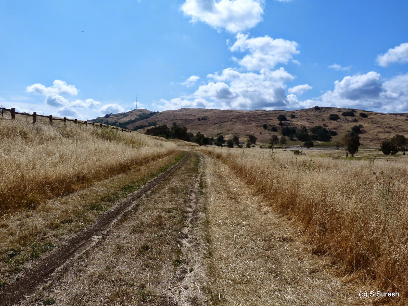 |
| Pueblo Trail |
There are plenty of trails and options inside this park. We turned left onto Mine Trail and continued on Pueblo Trail that runs right by Bernal Road. This stretch took by the Pueblo day use area. Using the Connector Trail and a small stretch on Mine Trail again, we made our way to Hidden Springs Trail. All these trails are typical fire road / dirt trails and easier on the feet than the rough Stile Ranch Trail.
 |
| Coyote Peak |
The next mile on Hidden Springs Trail & Coyote Peak Trail involves some serious climbing. About 700 ft or so. With no one in sight, I took the liberty of letting Apollo off-leash, which made it easier for both of us to do the climb. At 1150 ft, Coyote peak is the highest point in the Santa Teresa hills. The views of the Bay Area from the top are simply astounding. We were fortunate to have a great spring day - partially cloudy, great visibility, light breeze and the perfect hiking temperature of mid-60s - throughout the hike. On top of Coyote Peak is also a transmitter for KSJS FM radio station.
 |
| Panoramic view from Coyote Peak |
After a short break, Apollo and I continued down on Coyote Peak Trail to join Rocky Ridge Trail. Still off-leash, Apollo was having a field day setting the pace for the next 4+ miles, all the way back to the trail head.
 |
| Rocky Ridge Trail |
Rocky Ridge Trail then ended at Mine Trail. Turning left, we joined Fortini Trail about a quarter-mile ahead and made our way to the trail head. Our 8.4 mile hike involved a little more than 1000 feet of climbing in about 2 hours and 40 minutes. I'd characterize this as a moderately difficult hike.

This is also a fully exposed trail. Carry water and choose a cooler day to do this hike. You can also customize this hike to skip the Coyote Peak / Rocky Ridge Trail loop and make this a much shorter ~3 mile loop, still involving Stile Ranch Trail.
More pictures from the hike.
#Hiking #HikingWithDogs #StilesRanchTrail #SantaTeresaPark
Beautiful country!
ReplyDeleteBeautiful country!
ReplyDelete