|
| Skyline Blvd entrance |
It is very easy to miss the preserve entrance! My recommendation is to park in the vista point parking lot and start your hike from Cloud's Rest Trail. We parked a little ahead, close to 20000 Skyline Blvd, near Crazy Pete's Rd.
 |
| Crazy Pete's Rd trail |
Passing by a handful of private residences, about a half mile walk by Crazy Pete's Rd will get you to Gate CC05 and into the preserve. We continued straight ahead on the trail until we reached Alpine Rd. The nearly one-mile stretch single-track trail to Alpine Rd is through a heavily wooded area that offers plenty of shade.
 |
| Alpine Rd - Mtn bike hwy! |
Alpine Rd is right at the boundary of the preserve - and it felt very much like a mountain bike highway! We had several bikers cross us in both directions in this narrow dirt road through the hills.


On the return, we took the slightly longer Coal Road to the entrance at gate CC05. On this stretch, I got to meet a ranger and engage in a great conversation about the preserves, specifically their policy around dog friendliness while my daughter, Sanjana, attended to Apollo. Another half mile walk by Crazy Pete's Rd got us back to Skyline Rd where we'd parked the car.

The 5 mile hike through the preserve took us nearly an hour and forty five minutes involving a couple of descents and climbs. It isn't too strenuous, with probably about 900 feet of gentle climbing overall.
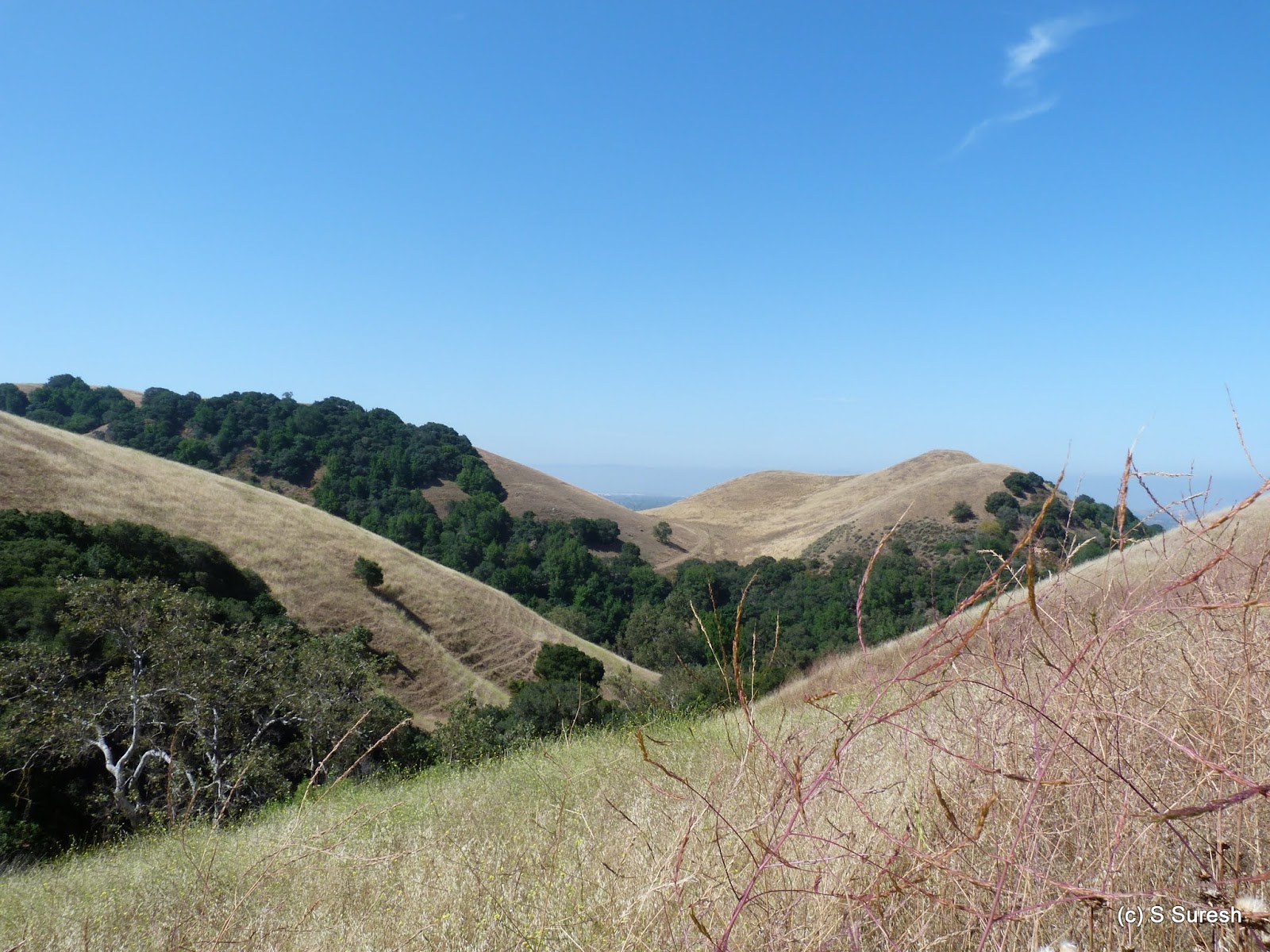
More pictures from our hike today.
#Hiking #HikingWithDogs #CoalCreekOpenPreserve #MROSD