 |
| Welch Creek Rd |
 |
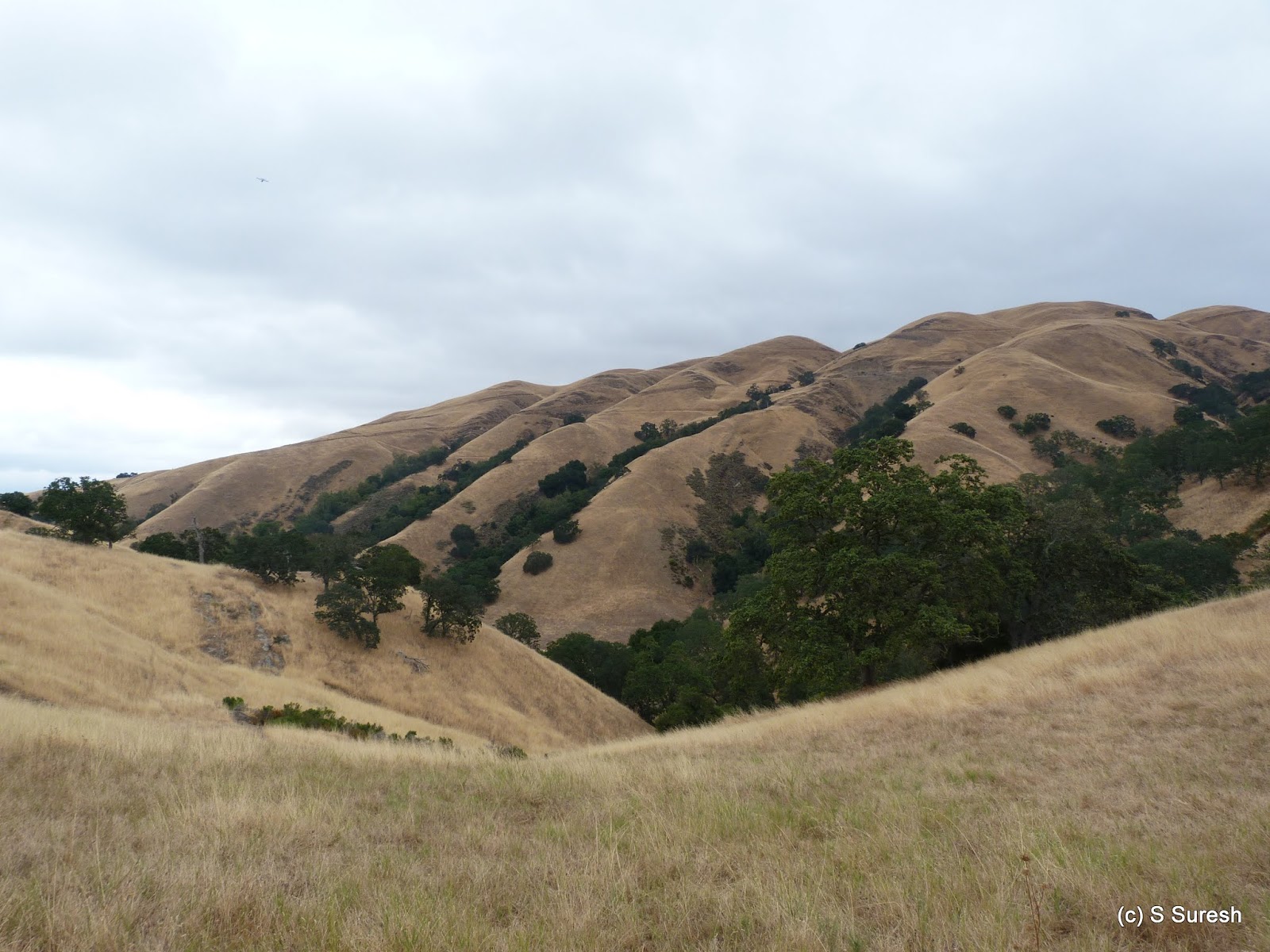
| Upper Maguire Trail |


 |
| View from top of Maguire Peak |


This hike is not necessarily very difficult. We climbed a little more than 600 feet and have done harder hikes. You must be prepared for solitude if you choose Sunol Regional Wilderness, especially the trails from Welch Creek Rd.

More pictures from the hike today.
#Hiking #HikingWithDogs #SunolRegionalWilderness #MaguirePeak #EBRPD
No comments:
Post a Comment