Saturday, December 5, 2015

SF Bay Trail, Sunnyvale 2015-12-05

I had walked this segment on Day 7 of my SF Bay Walkabout. SF Bay Trail in Sunnyvale allows dogs and I was back here today with Apollo to have an easy and peaceful walk by the bay. Yahoo!'s main parking lot (701 1st Ave.) has several spots reserved for SF Bay Trail users in the visitors section. And the trails can be accessed from the back of the campus walking across a wooden bridge.
Great Blue Heron

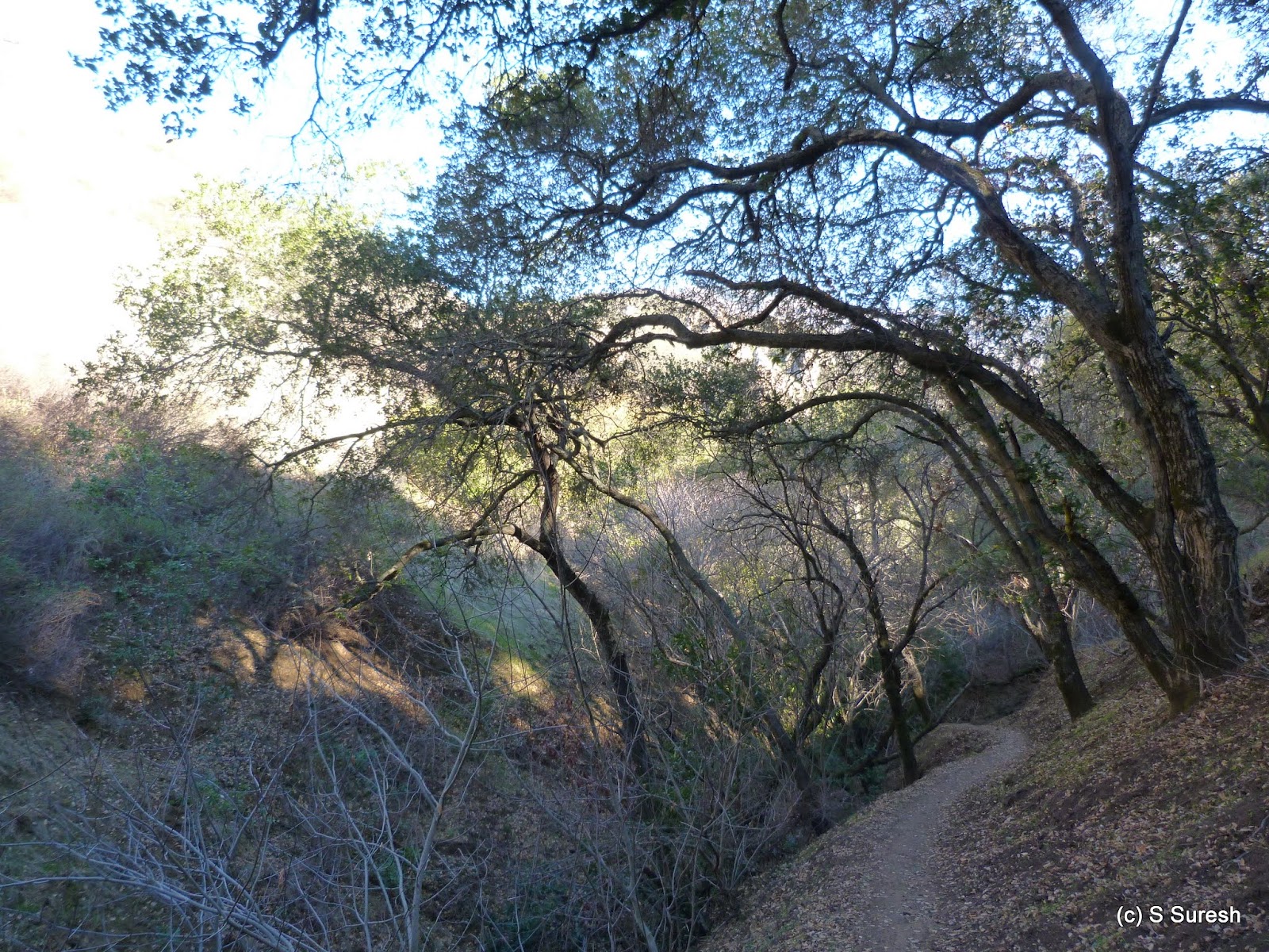
There is a hill behind Yahoo! campus with a trail system going around it as well as on top of it. A short walk by this trail will lead you to another bridge and crossing that will land you in the SF Bay trail. We started our walk turning left, walking towards Mountain View.


Brown Pelican, Cormorants

It is impossible to walk any segment of SF Bay trail without seeing birds of all kinds. Our walk today was no different. By the time we completed our walk today, I had got to see a Great Blue Heron, Great Egrets, Brown Pelicans, American Avocets, Scaups, Mallards, Northern Shoveler, Black-necked Stilts, Double-crested Cormorants, Black-crowned Night Heron, Snowy Egrets, Willets and the very common Canada Geese. A veritable treat to anyone interested in observing the beautiful birds by the bay!

Little more than a mile from where we started, we came to the boundary of Don Edwards Wildlife Refuge & Mountain View border beyond which dogs are not allowed. We had to turn around here and walk back south. Crossing the point we started, we went ahead where the trail comes to a large intersection of trails. 


To go further ahead, you would have to walk by the Sunnyvale Water Pollution Control Plant. For the next mile or so, the water pollution control plant will be on the right as the bay opens up to the backdrop of east bay mountains and Alviso on the left. 


Crossing another bridge, the trail starts bordering Baylands Park and the sports complex on the right. Apollo and I went ahead for a while more, deciding to turn around when we had about two miles of walk back to the parking lot. It is possible to walk ahead a little more until the trail enters Baylands park where dogs are not allowed.


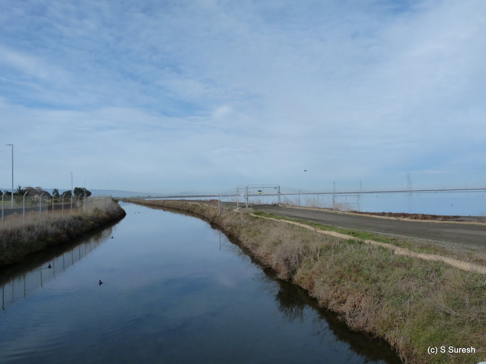
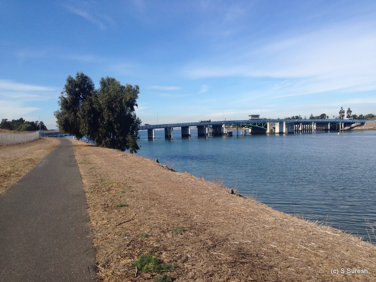
Bay trail in this entire stretch is a multi-use dirt trail, predominantly on top of levees with excellent views of the bay and mountains. We wrapped up our walk retracing our steps to the hill behind Yahoo! and walking around it to reach the parking lot.


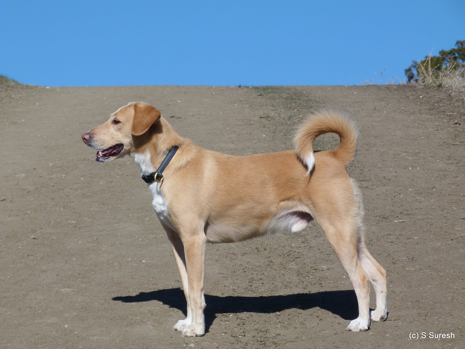
More pictures from our nearly 6 mile walk.
#Hiking #HikingWithDogs #SFBayTrail #SFBayTrailSunnyvale

Tuesday, December 1, 2015

Byrne-Milliron Forest 2015-12-01

Corralitos is a sleepy little town tucked away in Santa Cruz county that serves as the gateway to Byrne-Milliron Forest, a hidden gem for hiking in the Santa Cruz mountains. Byrne-Milliron Forest is a private land owned by the Land Trust of Santa Cruz County who have generously made available the 402 acre forest to public. Take Freedom Blvd exit from Hwy 1 and follow these directions to reach the visitors parking lot. Do exercise extreme caution driving the final stretch by Roses of Yesterday & Today driveway, a narrow one-lane road.

The forest has several points of interest and I intended hiking by each of them today. Apollo and I started our hike by Byrne trail heading west. This is a wide dirt trail that is filled with foliage from trees pretty much all the way. Over the next mile, the trail gradually climbs up before reaching a vista point offering nice views of the Pajaro valley on the left. 


For the Glory...
A sharp climb from this point took us to the intersection of Milliron trail on the left. Milliron trail gradually descends and becomes narrow before it connects to the Great White Loop. Great White Loop is little more than 1/2 a mile, but the trail definitely has character. 


Great White Redwood

We did this loop in a clockwise direction. The single track trail descends rapidly and crosses couple of wooden bridges before climbing back up again and reaching the "Great White" Redwood Tree - a 600+ year old, 233 feet tall tree. It is impossible to capture how majestic the tree is in any picture. Apollo and I couldn't agree more with the sentiment expressed in the wooden bench: For the Glory, not the Gold.


We completed the loop by walking a segment that had a cautionary warning. The trail is extremely narrow and at several points, goes by the edge of ravines where I had to use the ropes for climbing. Apollo's leash on one hand and the ropes on the other meant exercising extreme caution climbing the 1/4 mile stretch to come back on Milliron trail. 

Back to Byrne / Milliron trail intersection, we headed up and took the Milliron shortcut to connect to Ridge Top Road. This short cut also has a section requiring the use of ropes for safe passage. 


Eagle in Tree Vista Pt.
We turned left at the Ridge Top Road to reach the second vista point: Eagle In Tree Vista. There are couple of wooden benches to rest as well as a picnic table at this spot which also offers great views of the Pajaro valley and the Monterrey bay.


Porcupine Hollow
We continued ahead by the narrow, single track Ridge Top trail that descends along the way before intersecting with Byrne trail. We turned left at this intersection to reach Porcupine Hollow. 

Going into this narrow trail took us to a spot with a makeshift memorial for Jeff Helmer, the caretaker of the forest who passed away in 2014. You would see Jeff's personal touch welcoming us at multiple points - whether it is a water can or interesting figurines by rest spots.


The next 1/2 mile by Leonard Bartle trail is simply remarkable. The narrow trail runs through a heavily wooded forest where several trees have fallen down. In multiple spots, I had to get under those trees to pass. 


Capping the experience is a creek crossing that has a sharp climb down using ropes to reach the creek level and crossing it by a makeshift redwood log to get to the other side.   

Byrne trail essentially is a full loop around the forest. We connected back to Byrne trail once again, walking a short stretch before taking Switchback trail. We could have walked back to the parking lot from here. Instead, I wanted to stop by the last point of interest in the park - AJ's Point of View. 


AJ's POV
AJ's Point can be reached multiple ways. From where Switchback trail intersects with Byrne trail, we took the Rattlesnake trail and Ruth Perry trail to connect once again to Byrne trail to reach the vista point. Without doubt, the views of the valley and the bay was simply breathtaking from here. There is also a formal plaque honoring the forest's caretaker for nearly three decades at AJ's Point.


We wrapped up our hike by taking the Rattlesnake trail to reach the parking lot. I would rate our 6 mile hike as difficult not because of the 1600 feet. we ended up climbing along the way, but several segments that required using ropes to safely pass. If you would like to avoid those segments, it is possible to walk the entire forest by using just Byrne trail - and hit AJ's point along the way.

More pictures from our hike today.
#Hiking #HikingWithDogs #ByrneMillironForest #LandTrustOfSantaCruz

Sunday, November 29, 2015

Diablo Foothills Regional Park 2015-11-29

Apollo and I celebrated our 5 years of companionship with our first hike in Contra Costa county at the Diablo Foothills Regional Park. Bordered by Mt. Diablo State Park on the east and Shell Ridge Open Space on the west, this East Bay regional park has trails with plenty of variety and impressive views. I had parked in the Livorna staging area located at the end of Livorna Rd., Alamo (off Hwy 680).


The temperature was cool and crisp in the high 50s even with the bright sun shine. There was reasonable traffic this beautiful Sunday afternoon in the trails, possibly folks working off the Thanksgiving indulgences! 


Foothills trail

We started our hike from the Foothills trail, a wide dirt trail that quickly crosses over into Shell Ridge Open Space. There are several options to continue further into the Shell Ridge Open Space. We stayed on Foothills trail that was back within the regional park boundary. 


Shell Ridge

From Foothill trail, we turned into Stonegate trail. Taking us on top of the ridge and through several other trail intersections, this section of our walk offered great views of Shell ridge and its characteristic undulating hill formation, not unlike a camel back. 


Buckeye Ravine

We made our way from here to Buckeye Ravine trail. Descending sharply, in this stretch, we gave up the ~350 ft. elevation we had gained until now. This is a single track dirt trail that has posted signs of no-biking, but the allure of the rapid descend by the ravine made more than one biker bend the rule. 


Castle Rock
Just as it connects to Stage Road trail that runs along Pine Canyon Creek, Buckeye trail offers glimpses of Caste Rock, another impressive feature of our hike today. Castle Rock is on the border of Mt. Diablo State Park and is popular with mountain climbers. 


Stage Road trail
We turned right on Stage Road trail and walked about 1/2 a mile before coming to Little Yosemite trail. Part of Mt. Diablo SP, dogs are not allowed in that. We retraced our steps back and continued north on Stage Road trail. Over the next 1/2 mile or so, the trail not only had interesting rock formations on the sides but actually ran right over them.


Fairy Lantern trail
We turned left on Fairy Lantern trail and subsequently connected to the northern section of Buckeye Ravine trail. These two sections and the short stretch we walked by Briones-Mt. Diablo regional trail were all uphill as we looped back to the spot where we had headed down by Buckeye Ravine trail.

If you thought Briones-Mt. Diablo Regional trail was a mouthful, brace yourself! The same trail has two other names, American Discovery trail and Mokelumne Coast-to-Crest trail! And we just walked a quarter mile in this trail with multiple names, each a mouthful! 


Hanging Valley trail

From this familiar spot with views of Shell Ridge, we headed south by Hanging Valley trail. The nearly 1 mile stretch continued to put us through our paces climbing up and down before we connected to Alamo trail. 


Alamo trail

The homestretch by Alamo trail to the staging area was easy. Alamo trail goes through the backyards of a residential neighborhood in the unincorporated area of Alamo before reaching the Livorna staging area. 


We did nearly six and a half miles, climbing about 900 feet through several ups and downs along the way. 

More pictures from our hike.
#Hiking #HikingWithDogs #DiabloFoothillsRegionalPark #EBRPD


Monday, November 23, 2015

Ed Levin County Park 2015-11-23

It was good to hit the trails in bay area sporting ideal fall conditions after my travels and incessant monsoon rains in Chennai and cold/wintry conditions in London. Apollo and I headed off to Ed Levin County Park in Milpitas. I parked near the dog park, best accessed from Sandy Wool entrance (fee) located on Downing Rd, off Calaveras Rd / Hwy 680 in Milpitas. 


The second entrance to the park is on Calaveras Rd. that serves the Spring Valley area. Dogs are not allowed in the trails in this section. I drove by this entrance and chanced upon a group of wild turkeys. One bird allowed me to get close enough to take a good photograph. Wishing the flock happy thanksgiving, we moved on!


Ed Levin Park serves as the ideal trail head for Monument Peak. However, I had decided not to take on that hike today and instead do a loop around the northern section of the park. We started our hike from Tularcitos trail, right by the dog park. The dirt trail quickly connects to Agua Caliente trail, which makes a sharp left and starts climbing up hill.


Agua Caliente trail intersects the Launch Site Rd as it makes its way through the mountains. Launch Site Rd is predominantly used by hang gliding enthusiasts with two launch spots on either side of  where the trail and the road intersects. 


The sun was out when we started the hike, but as we gained some elevation, we entered a stretch of heavy fog that progressively thickened. At one point, the visibility was reduced to about 40 feet. The fog was heaviest when Agua Caliente trail crossed Monument Peak Rd & trail. 


We continued on Agua Caliente trail making a left after the water trough. There is no trail marker here for Agua Caliente trail, but it is hard to miss the trail going left at the water trough. You know you are on the right path if you cross Calera creek and come upon Calera Creek trail in quick succession.


We turned around here, taking Calera Creek trail heading south. The recent rains had resulted in the trail and the mountain side sporting a lush green grass cover by the creek. The fog had also burned off by now as the Calera Creek trail gradually descended, crossing the creek couple of times.


As the trail comes close to the Sandy Wool area, you will see the large open space ear marked for hang gliding on the left. We wrapped up our hike by connecting back to Tularcitos trail and making our way back to the dog park where I had parked the car.  

More pictures from our four mile hike today.
#Hiking #HikingWithDogs #EdLevinPark #EdLevinCountyPark

Tuesday, November 10, 2015

Alameda Creek Trail 2015-11-10

Alameda Creek Regional Trail, a 12 mile trail on the banks of Alameda creek runs from Niles Canyon westward all the way to San Francisco Bay. There are two trails that run on both banks of the creek. A paved blacktop trail on the southern side and a dirt trail on the northern side that allows equestrians. I had parked in the Niles Creek staging area, the entrance to which is on Old Canyon Rd off Mission Blvd just north of its intersection with Mowry Ave.

The first thing that will strike you when you start the hike is how w-i-d-e the creek is. On top of it, the hillside on the north provided an impressive backdrop to start off our walk. The trail goes by an underpass at Old Canyon Rd and emerges on the other side by a railroad. 

The trail runs parallel to the rail road until the underpass at Mission Blvd. Rail roads always have a fascination for me and it was cool to be there today seeing a Union Pacific diesel engine moving around in this section by the creek. The creek also becomes dry with a dam holding the water on one side in this section. 

The trail curves around and passes by a pond on the left called Kaiser cove that belongs to a model boat club. In this section, there is a dirt trail that runs by the paved trail until the next underpass by BART tracks. 

Coming off the BART track underpass, the trail runs by a residential area on the left until Isherwood Way where we turned around today. It is possible to connect to the dirt trail on the north by using the Sequoia bridge in this stretch. The north side trail also runs on the boundary of Quarry Lakes recreational area that we did not visit today.

Apollo and I enjoyed our mid morning walk today after the drenching rains yesterday. Alameda creek trail, especially the paved side is a great option to go to after rains if you want to avoid walking by muddy dirt tracks. 

The riparian trail system will also give you an opportunity to see lots of birds. In addition to mallard ducks that is common in bay area, I also saw a blue heron, great egret, lesser scaups and a group of Canada geese that took flight as Apollo and I walked by them near the Kaiser cove pond.


Our out and back walk today was little over 6 miles, from Niles creek staging area until Isherwood Way. With more than 12 miles of trail one way, I will save the other sections for a rainy day this winter.

More pictures from our hike.
#Hiking #HikingWithDogs #AlamedaCreekTrail #EBRPD


Thursday, November 5, 2015

Bay Farm Island (SF Bay Trail) 2015-11-05

Bay Farm Island, Alameda has a ~6 mile loop around the island that is part of the SF Bay Trail. I had walked the Shoreline Dr. in Alameda Island on day 3 of my SF Bay Walkabout. I was back here with Apollo and started our walk today from Shoreline Dr & Park St. Parking is easy with plenty of spots available on Shoreline Dr. and nearby streets.


A paved blacktop trail for pedestrians runs all along Shoreline Dr. from Crown Memorial Beach (Westline Dr.) all the way to Doolittle Dr. We walked only a short stretch of this today of which a portion of it was an undeveloped dirt trail right by the bay and behind a residential neighborhood. 


This segment connects back to the black top bike trail that goes under Doolittle Dr. and crosses the bay by a bright blue draw bridge to Bay Farm island.  We turned right and proceeded on the wooden bridge to start the Bay Farm Island Loop trail in a counter clockwise direction.


For the next mile and a half, in addition to the blacktop trail popular with cyclists and joggers with strollers, there is a dirt trail that runs by it that pedestrians and dog walkers gravitate to. As you walk in a westerly direction, the trail offers fantastic views of the bay bridge and San Francisco skyline. 


As if the views were not enough, the crisp autumn morning by the bay treated us to a gentle sea breeze with the unmistakable salty freshness. The trail curves around the island in a south easterly direction for the next mile and a half. The beauty of the walk was only marred by a very noisy group of women talking about their lives happenings! The solution to this problem was surprisingly simple - not outrunning them but pausing to enjoy the scenery while they went ahead!


You will go right by the ferry terminal as the trail becomes more urban in character. Office complexes, including Peet's Coffee and manicured lawns on one side and bay waters on the other will set the stage for an urban walk by the bay in this section.


For the next mile, the trail runs parallel to Harbor Bay Pkwy with office complex dotting both sides. Abbott's labs and Oakland Raiders offices are in this section which no longer has the bay on one side, but is still pleasant to walk by.


The trail follows Harbor Bay Pkwy and turns in a northerly direction at the junction of Ron Cowan Pkwy. The next mile is unfortunately a dry section of this loop, with Oakland airport on one side and a golf complex on the other, with construction happening in both properties. 


At the end of this drab section is Mount Trashmore! No, I am not joking. That is the name of the former landfill at the intersection of Doolittle Dr. & Harbor Bay Pkwy. The landfill is fenced off and the trail once again starts running by the bay on the home stretch of the loop. Well, it may be called Mt. Trashmore, but I was moved by the two quotes someone had painstakingly painted in the area. 


The loop completes with this section coming back to the draw bridge. Crossing over the bridge and retracing our steps, we were back on Shoreline Dr. in Alameda island.


The 9+ mile walk, including the ~6 mile Bay Farm Island Loop trail was one of our longer excursions, but is not difficult and can be customized to suit the distance one would like to walk this trail.

More pictures from our walk today.
#Hiking #HikingWithDogs #SFBayTrail #BayFarmIslandLoopTrail #BayFarmIsland #CrownMemorialBeachPark