
 |
| Foothills trail |
We started our hike from the Foothills trail, a wide dirt trail that quickly crosses over into Shell Ridge Open Space. There are several options to continue further into the Shell Ridge Open Space. We stayed on Foothills trail that was back within the regional park boundary.
 |
| Shell Ridge |
From Foothill trail, we turned into Stonegate trail. Taking us on top of the ridge and through several other trail intersections, this section of our walk offered great views of Shell ridge and its characteristic undulating hill formation, not unlike a camel back.
 |
| Buckeye Ravine |
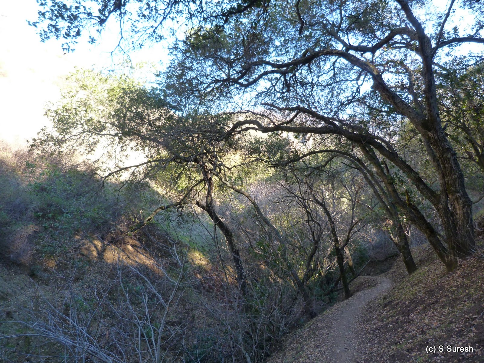
We made our way from here to Buckeye Ravine trail. Descending sharply, in this stretch, we gave up the ~350 ft. elevation we had gained until now. This is a single track dirt trail that has posted signs of no-biking, but the allure of the rapid descend by the ravine made more than one biker bend the rule.
 |
| Castle Rock |
 |
| Stage Road trail |
 |
| Fairy Lantern trail |
If you thought Briones-Mt. Diablo Regional trail was a mouthful, brace yourself! The same trail has two other names, American Discovery trail and Mokelumne Coast-to-Crest trail! And we just walked a quarter mile in this trail with multiple names, each a mouthful!
 |
| Hanging Valley trail |
From this familiar spot with views of Shell Ridge, we headed south by Hanging Valley trail. The nearly 1 mile stretch continued to put us through our paces climbing up and down before we connected to Alamo trail.
 |
| Alamo trail |
The homestretch by Alamo trail to the staging area was easy. Alamo trail goes through the backyards of a residential neighborhood in the unincorporated area of Alamo before reaching the Livorna staging area.

We did nearly six and a half miles, climbing about 900 feet through several ups and downs along the way.
More pictures from our hike.
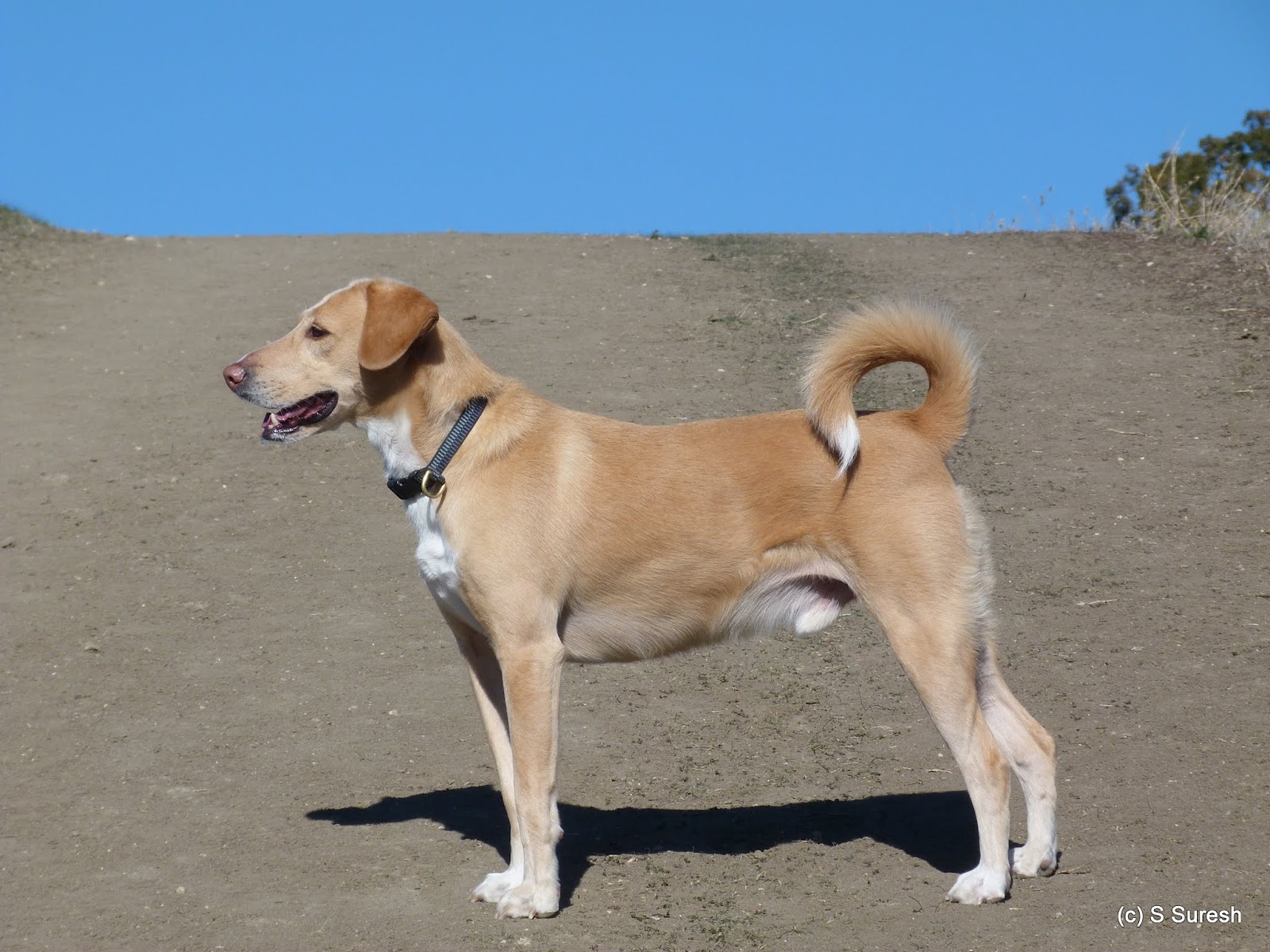
#Hiking #HikingWithDogs #DiabloFoothillsRegionalPark #EBRPD
No comments:
Post a Comment